Infographie en couleur Carte du Canada - Illustrations
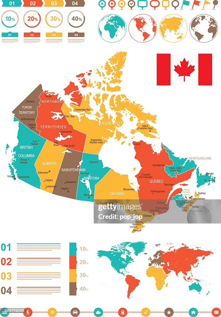
Map of the Canada - illustration The urls of the reference files are (country, continent, world map and globe): http://www.lib.utexas.edu/maps/americas/canada_pol99.jpg http://www.lib.utexas.edu/maps/world_maps/time_zones_ref_2011.pdf http://www.lib.utexas.edu/maps/americas/north_america_ref_2010.pdf. In addition - some region boundaries and city locations were taken from: http://www.lib.utexas.edu/maps/united_states/usa_pol01.jpg http://www.lib.utexas.edu/maps/americas/mexico_pol97.jpg http://www.lib.utexas.edu/maps/americas/canada_pol_1986.gif - The illustration was completed January 17, 2016 and created in Corel Draw - 1 layer of data used for the detailed outline of the land
Obtenez cette image dans différents formats et cadres disponibles sur Photos.com.
ACHETER UNE LICENCE
Toutes les licences libres de droits comprennent des droits d'utilisation mondiaux, une protection complète et une tarification simple avec des réductions pour les achats importants.
385,00 €
EUR
Getty ImagesInfographie En Couleur Carte Du Canada, Photo Téléchargez des illustrations Infographie en couleur Carte du Canada premium authentiques avec Getty Images. Découvrez des illustrations haute résolution similaires dans notre vaste catalogue visuel.Product #:585776250
Téléchargez des illustrations Infographie en couleur Carte du Canada premium authentiques avec Getty Images. Découvrez des illustrations haute résolution similaires dans notre vaste catalogue visuel.Product #:585776250385€50€
Getty Images
In stockINFORMATIONS
Crédits :
Créatif - n° :
585776250
Type de licence :
Collection :
DigitalVision Vectors
Taille max. de fichier :
3446 x 4933 px (17,03 x 24,38 cm) - 514 dpi - 5 MB
Date de chargement :
Infos autorisations :
Aucune autorisation n'est nécessaire
Catégories :
- Carte,
- Canada,
- Vectoriel,
- Ontario - Canada,
- Winnipeg,
- Alberta,
- Graphisme d'information,
- Municipalité régionale d'Halifax - Nouvelle-Écosse,
- Toronto,
- Bleu,
- Calgary,
- Cartographie,
- Communication globale,
- Continent américain,
- Couleur,
- Couleur verte,
- Frontière,
- Frontière internationale,
- Gris,
- Illustration,
- Image clipart,
- Image en couleur,
- Jaune,
- Lieux géographiques,
- Macrophotographie,
- Manitoba,
- Marron - Couleur,
- Mer,
- Ottawa,
- Plan très rapproché,
- Planisphère,
- Planète,
- Province du Québec,
- Regina,
- Rouge,
- Saskatchewan,
- Terres sauvages et cultivées,
- Vancouver - Canada,
- Vertical,
- Ville - Milieu urbain,